


Research groups
The Marine Geosciences Departement is composed by three research groups where collaborates researchers from both the ICM and other national and international centers and institutions.
- Continental Margins Group
- Barcelona Center for Subsurface Imaging
- Ocean and Littoral Sedimentary Process Group
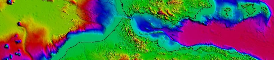
Continental Margins Group
![]()
The Continental Margins Group (GMC) brings together researchers from national and international scientific institutions and has a great deal of experience in the geology and geophysics of continental margins and basins from different geological and geographical contexts.
The Continental Margins Group (GMC) brings together researchers from five national and international scientific institutions: the Institute of Marine Sciences Barcelona-CSIC, Andalusian Institute of Earth Sciences-CSIC, Geological Survey of Spain, the Spanish Institute of Oceanography, the University of Salamanca and the Pierre et Marie Curie University, Paris.
- Sedimentary systems and continental margin and ocean basin modelling
- Continent to ocean: sediment transport mechanisms
- Morphostructure and tectonic evolution of continental margins and deep marine environments. Geodynamic processes and structural evolution of continental margins and oceanic basins
- Global climate change: recognition of palaeoceanographic and palaeoclimatic changes in the Neogene-Quaternary
- Recent and past modelling of the seabed and outbuilding of continental margins and deep environments by the action of ocean water masses
- Seamounts: Tectonics and sedimentation
- Geological Hazards
- Hydrocarbon exploration in contourites and turbidite systems
- Presence of gas hydratesfluids in marine sediments
- Identifying shelf and coastal sands for beach nourishment
- Development of submarine prototypes and oceanographic vessels
Barcelona Center for Subsurface Imaging
![]()
The Barcelona Center for Subsurface Imaging (Barcelona-CSI) is formed by an interdisciplinary group of researchers in geoscience from the Marine Sciences Institute (ICM), Marine Technology Unit (UTM-CSIC) and Earth Sciences Institute Jaume Almera (ICTJA-CSIC), all from the Spanish Research Council (CSIC). The developments in geophysical methods and technology are combined with seismic imaging and estimation of physical properties of the subsurface using field data, and with the integration of a wide range of observations to study geological processes.
- Modelling and inversion tools and to develop new ones for seismic and electromagnetic (EM) data.
- Developement geological and geophysical instrumentation.
- Tectonic and fluid and material transfer processes at subduction zones.
- Earthquake genesis, paleoseismology and geohazards.
- Formation of Sedimentary Basins, Rifted Continental Margins, and Mid Ocean Ridges.
Ocean and Littoral Sedimentary Process Group
The Ocean and Littoral Sedimentary Process Group is a multidisciplinary group devoted to investigate the processes that govern the dynamics of current and recent marine sedimentary systems from observational and modeling techniques. This group studies the causes and effects of sedimentary processes, investigating their interactions with biological, geochemical and physical processes and their effects on ecosystems, integrating also human activities and their consequences to contribute to environment management and scientific outreach.
- Sedimentary dynamics, especially during high-energy events such as storms and river floods, convection events and cascading, from the coast, passing through submarine canyons to the deep ocean.
- Research coastal dynamics, including modelling of sediment transport by waves and currents and morphological evolution.
- Study of the effect of sedimentary processes in marine biogeochemical cycles and their impact on the sedimentary record and marine ecosystems.
- Study the impact of anthropogenic activities on marine sedimentary environments such as actions on the coast, the dynamics of heavy metals pollution in sediments and the effects of trawling on the seabed.
- Monitoring of sediment dynamics by recording long-term time series of oceanographic parameters by instrumented observatories in order to generate knowledge for research, environmental management and outreach.